
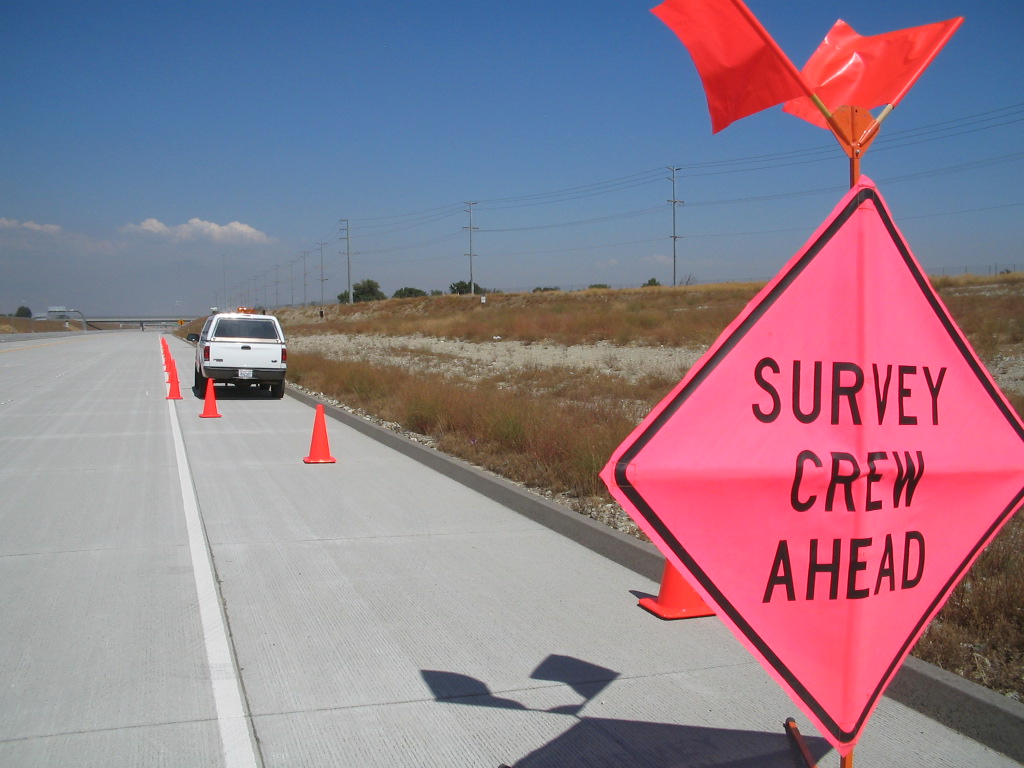
LAND SURVEYING & MAPPING
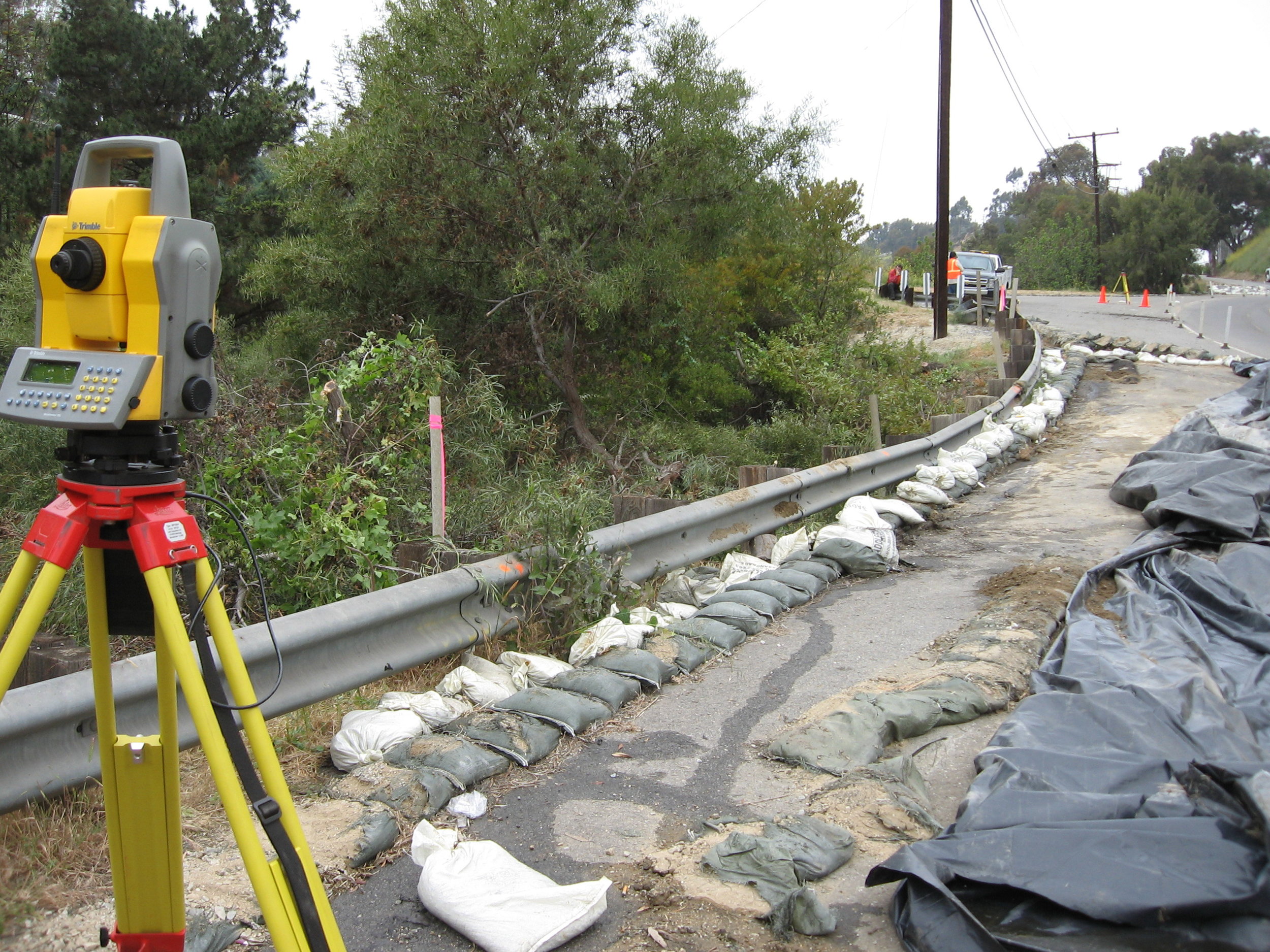
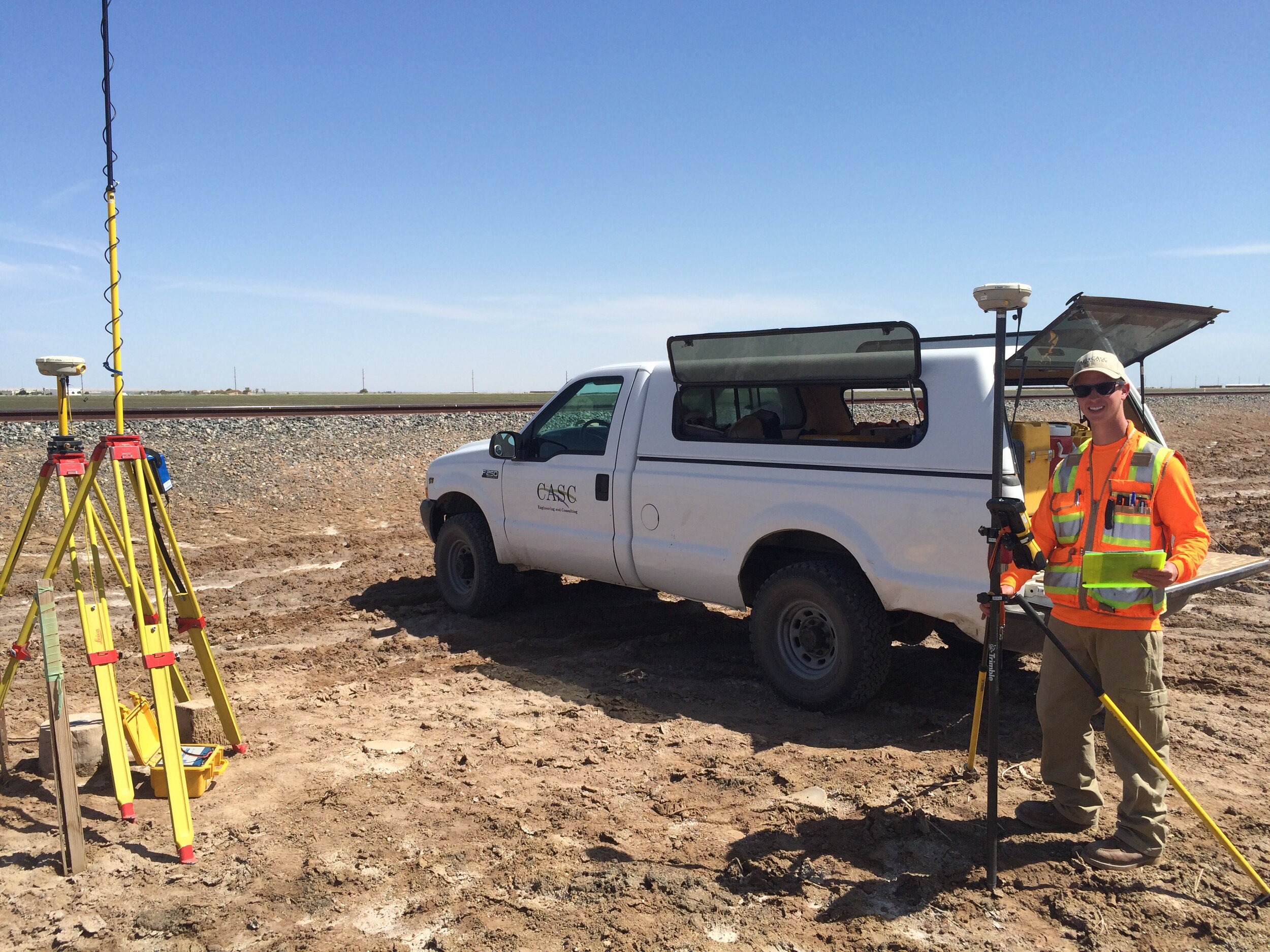
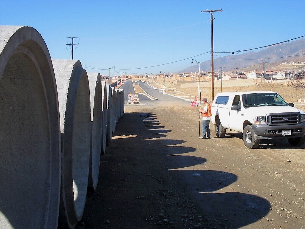
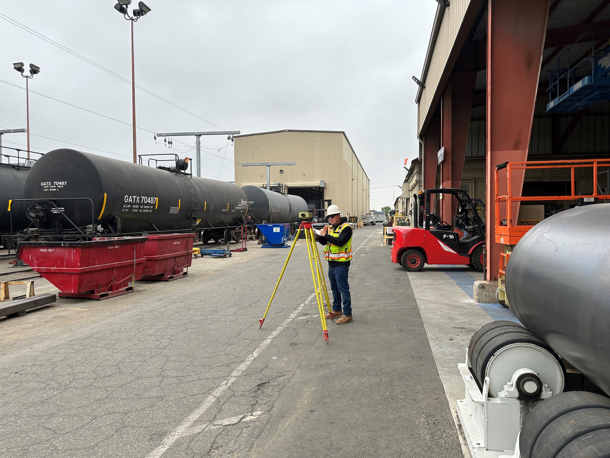
Casc provides surveying and mapping services to facilitate projects through all project phases: from initial boundary research to map recordation; from topographic mapping to legal descriptions; and from construction staking to inspection services. Our surveyors work diligently to provide the precise information necessary to design and build your project.


services include:
mapping services
Annexation Legal Descriptions and Exhibits
ATLA/ASCM Surveys/Maps
Encumbrance Mapping
Land Net Mapping
Legal Descriptions and Plats
Parcel Maps
Right-of-Way Maps
Records of Survey
Subdivision Mapping
Tract Maps
Utility Mapping
photogrammetry
Aerial Topographic Mapping and Control
Digital Orthophotography
Forensic Mapping
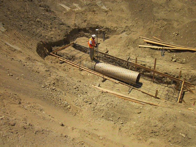
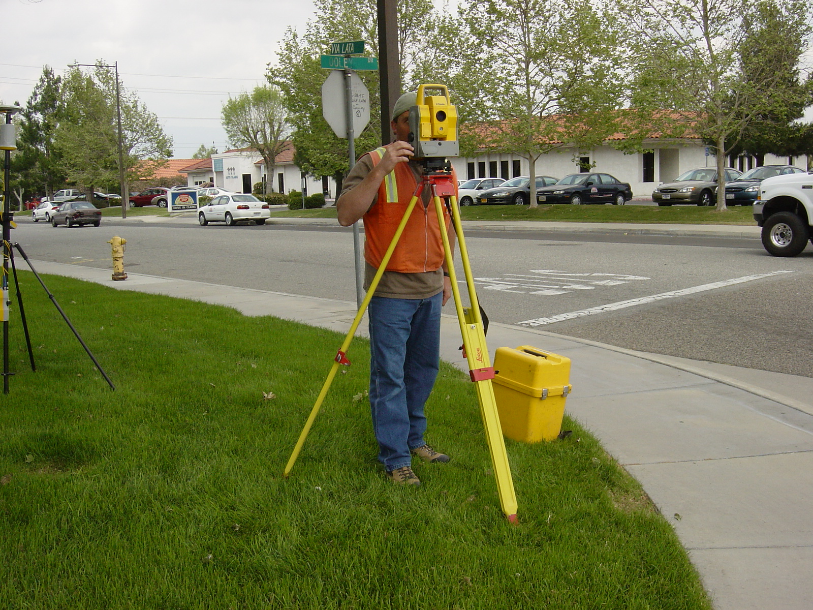
construction surveying
and staking
As-Built Surveys
Building Control and Layout
Grading Certification
Monitoring
Quality Assurance Surveying
Site Improvement Surveys
Subdivision Grading
design surveys
Architectural Design Surveys
Engineering Design Surveys
Topographic Mapping
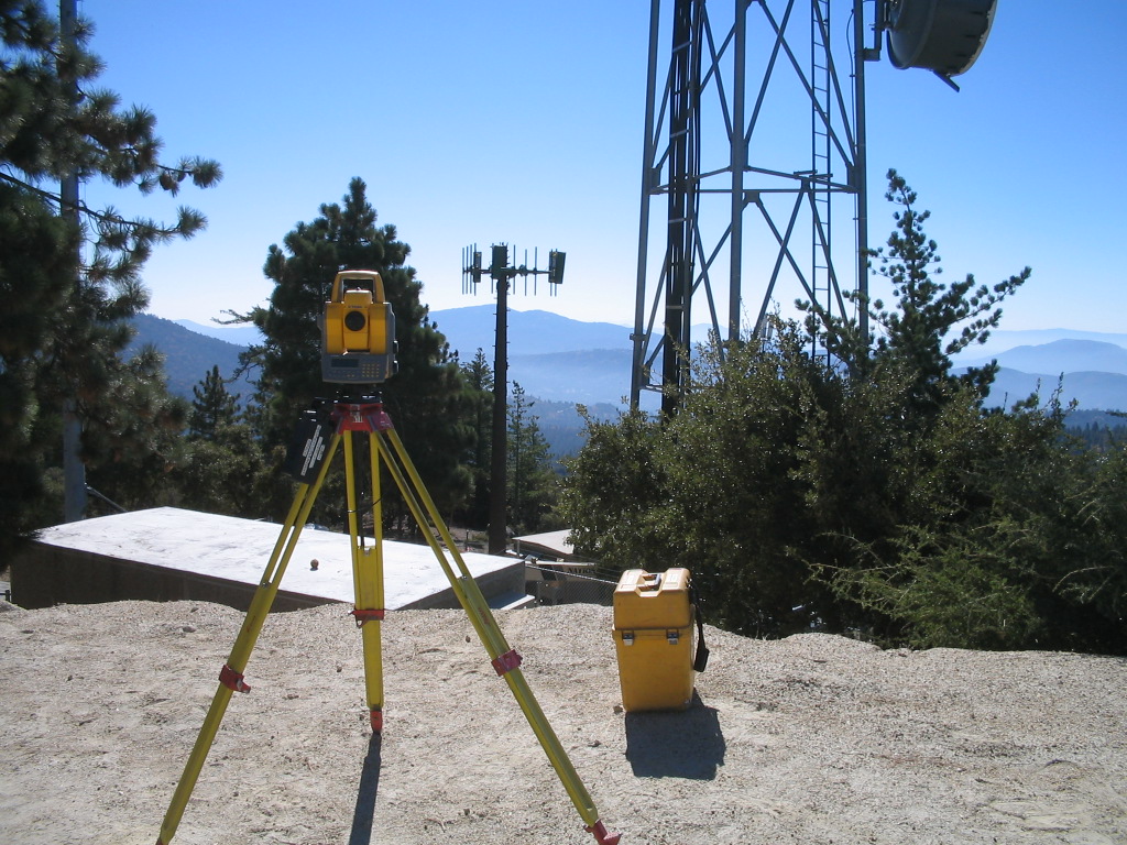
gps/geodetic surveys
Boundary Survey/Resolution
Control Surveys
Geodetic Control Surveys
GPS Surveys
Precise Benchmark Circuit Leveling